SEO for Clayfield businesses near Sandgate Road and the two stations
Clayfield sits about 6 kilometres north-east of central Brisbane, with Sandgate Road through the middle and two stations: Clayfield on the Doomben line, and Eagle Junction, where six lines meet. Locals search for a dentist on Sandgate Road, fish and chips at the markets and parking at Eagle Junction station. Boltly handles the Google profile, service pages and reviews for Clayfield QLD 4011, month to month.
Updated
- Early daysA brickworks and its clay deposits give the suburb its name
- 1888Ralahyne built in Enderley Road, still heritage-listed
- 1901Electric trams reach Sandgate Road
- 1975Eagle Junction registered as a locality inside Clayfield
- 2015Kalinga becomes a suburb of its own
- 2021Flats and apartments make up 51.3% of homes
Dates from the Queensland place names register, Queensland Places and the Queensland Heritage Register; the 2021 share from ABS QuickStats.
A suburb of apartments, renters and two stations
Clayfield now has more apartments than houses. The 2021 Census counted 10,897 residents with a median age of 37; 51.3% of homes were flats or apartments, 37.8% were separate houses and 43.0% were rented. The two stations show up in the commute: 6.9% of working residents took the train on Census day, against 1.1% across Queensland, and 23.6% worked from home. Legal services employed 3.1% of residents, more than three times the state share.
For a Clayfield business, SEO means being the name people find when they search Sandgate Road, the markets or either station: a Google profile that says Clayfield QLD 4011, a page for each service, directions from Clayfield or Eagle Junction station, and reviews that name your street.
Source: ABS 2021 Census QuickStats, Clayfield SAL30617, checked 4 October 2026.
- 10,897residents
- 37median age
- 2.2per household
- $1,948income, weekly
- $350rent, weekly
- $2,000mortgage, monthly
- 51.3%flats, apartments
- 34.8%workers, professionals
Nepali is the most common language at home after English, at 3.1% of residents (Queensland: 0.2%).
Running a business from a Clayfield flat without putting your address on Google
You can, as a service-area business, and Google keeps the address hidden. With 23.6% of working residents at home on Census day, plenty of Clayfield businesses have no shopfront: bookkeepers, tutors, cleaners, designers, mobile trades. Their two worries: will the home address be public, and how do you get verified with nothing to film but a unit block?
Set it up as a service-area business
If you don't serve customers at your address, Google says to leave it off your profile. Choose the service-area option and list the suburbs you actually cover, such as Clayfield, Ascot, Albion and Wooloowin. Google also says a business without permanent signage on site should be listed this way.
Plan the verification video before you press record
If Google asks for a video, it has to be one continuous recording of at least 30 seconds, filmed live on your phone through the profile. For a home-based business Google says you can film signs and landmarks in your immediate neighbourhood: your street sign, a corner of Sandgate Road or the station sign. Then show the tools of your trade and something only the owner can do, such as opening up your branded van or holding an invoice in the business name. Leave out other people's faces and any ID or bank numbers.
Expect a smaller map radius, and build pages for the rest
A hidden address doesn't change where Google thinks you are. Distance from the searcher still counts, so you'll tend to show more often around 4011 than in suburbs further out. Reach beyond that with a page for each service, real job photos and reviews from customers in the suburbs you serve.
Sources: Google Business Profile Help, "Verify your business with a video recording" and "Manage your business address" (en-AU), read 5 October 2026; ABS 2021 Census QuickStats, Clayfield SAL30617.
- Clayfield4011 · this one
- Eagle Junctiona locality inside Clayfield
- Kalingaits own suburb since 2015
- Ascotnext door, to the south-east
- Clayfield, DurbanGoogle suggests it, a long way off
Eagle Junction is a neighbourhood inside Clayfield, not a suburb
Eagle Junction isn't a suburb of its own. The state's place names register has listed it since 1975 as a neighbourhood inside Clayfield, and Australia Post has no separate postcode for it. Kalinga, next door to the north-west, was the opposite case: a locality that became a suburb in its own right in October 2015. Google still asks "is eagle junction a suburb", pairs "restaurants eagle junction clayfield", and even offers a Clayfield in Durban.
The name comes from a brickworks and its clay deposits. By the late 1880s large homes were going up here, and Ralahyne in Enderley Road, built in 1888, is still on the Queensland Heritage Register. Trading in the Eagle Junction part? Write Clayfield QLD 4011 in your address as well. Closer to the racecourse side? See SEO in Ascot.
Sources: Queensland Government place names register (Clayfield, Eagle Junction and Kalinga entries); Australia Post postcode search; Queensland Places, Clayfield (Ralahyne); Queensland Heritage Register, Ralahyne (600182); Google suggestions, 4 October 2026.
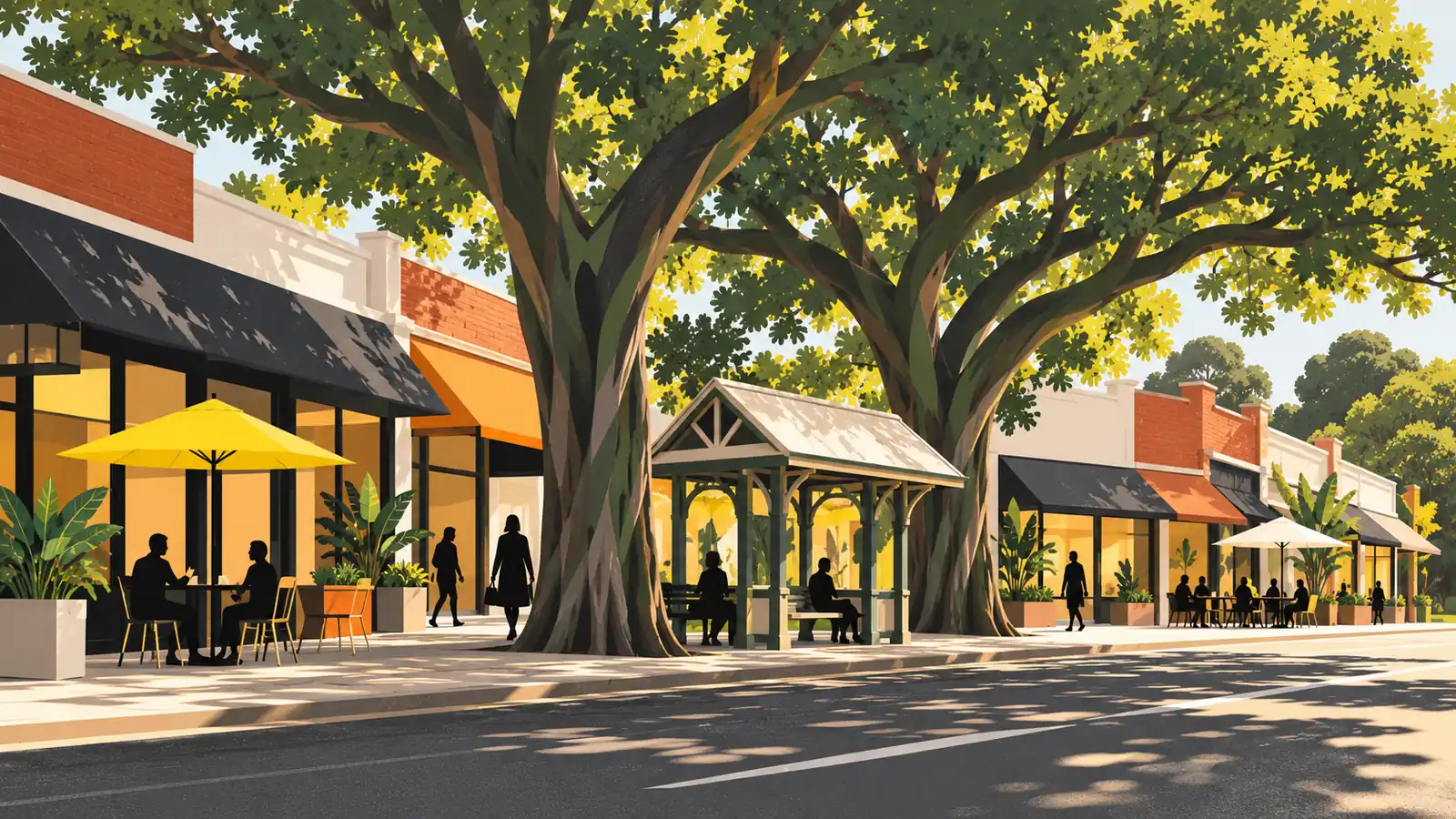
Sandgate Road, the markets and the old tram line
Sandgate Road is Clayfield's main street, and Google fills it in shop by shop, adding "sandgate road" to searches for a chemist, a vet, Thai food and a florist.
Electric trams reached Sandgate Road in 1901, running from Breakfast Creek to Wagner Street, and the shops grew up between the tram terminus and the station. Two heritage-listed places make easy landmarks: Clayfield House, the former Turrawan Private Hospital at 8 London Road, and Stanley Hall at St Rita's College. Around the markets, people look up the seafood and the opening hours. Put your street number and nearest landmark on every listing, and keep your hours right over public holidays.
Sources: Queensland Places, Clayfield (trams and shops); Queensland Heritage Register, Clayfield House (602452) and Stanley Hall (600183); Google suggestions, 4 October 2026.
Under the fig treesSandgate Road searches
- chemist sandgate road
- vet sandgate road
- florist sandgate road
- doctors sandgate road
- massage sandgate road
- markets seafood
Each leaf holds the rest of a Clayfield search Google suggested on 4 October 2026.
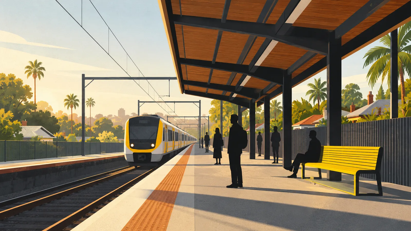
Six spools, one junctionEagle Junction lines
- Airport
- Caboolture
- Doomben
- Redcliffe Peninsula
- Shorncliffe
- Sunshine Coast
Dates on the thread, from the place names register
- 1882Clayfield named
- 1882Eagle Farm Junction
- 1975EJ a neighbourhood
- 2015Kalinga a suburb
Two stations, and one of them is a junction
Clayfield station was named on 3 September 1882 and sits on the Doomben line; Translink's timetable runs its trains between Doomben and the city, with a few going on to Cleveland. Eagle Junction station, also inside the suburb boundary, is on six lines: Airport, Caboolture, Doomben, Redcliffe Peninsula, Shorncliffe and Sunshine Coast.
Eagle Junction started out in September 1882 as Eagle Farm Junction, when the branch to the racecourse at Ascot opened, and later dropped the "Farm". People also search for parking at both stations. Say which station is closer on your contact page, and how long the walk takes.
Sources: Queensland Government place names register (Clayfield and Eagle Junction station entries); Translink timetable data, feed of 2 October 2026 (lines and services); Google suggestions, 4 October 2026.
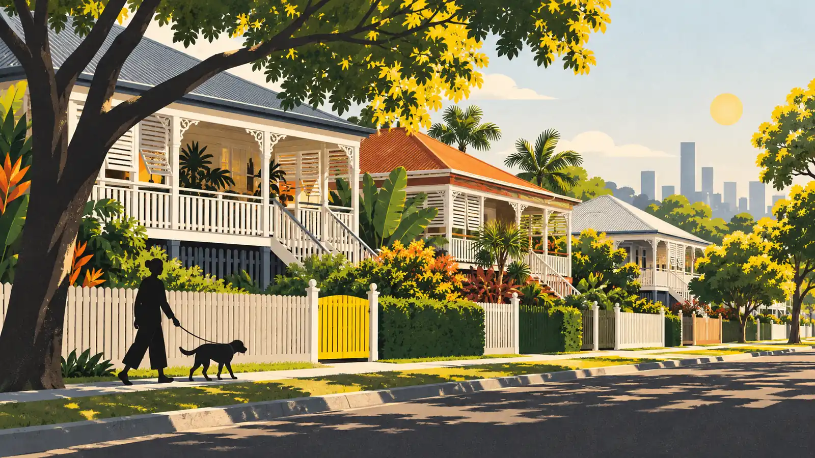
Six neighbours through the louvres
Clayfield covers 2.8 square kilometres on the ABS boundaries and borders six suburbs: Nundah, Hendra, Ascot, Albion, Wooloowin and Kalinga.
Google's suggestions show where people head from here: Chermside, Nundah, Brisbane Airport and Hamilton. Keep your service area to the suburbs you actually cover, and give the busiest of them a page each. Working towards the river? See SEO in Hamilton.
Sources: ABS 2021 suburb boundaries (ASGS SAL 30617: area, and the suburbs it touches); Queensland Places, Clayfield (distance); Google suggestions, 4 October 2026.
Through the louvresNeighbours around 4011
Clayfield · 4011
- NNundah
- NENundah
- EHendra
- SEAscot
- SAscot
- SWAlbion
- WWooloowin
- NWKalinga
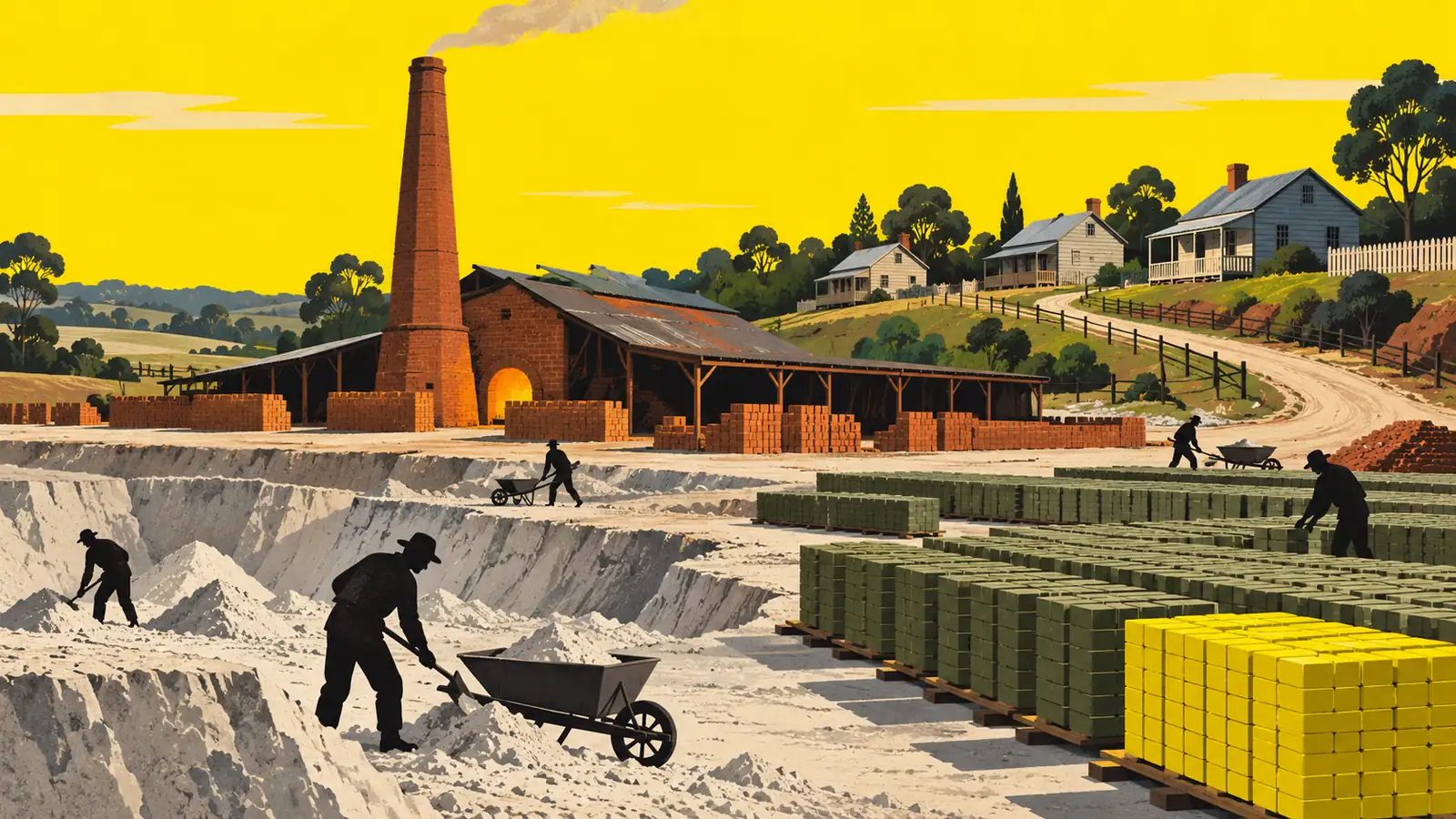
From clay to brick, in five steps
Every Clayfield campaign is made one stage at a time, in order, and Boltly, a Melbourne-based business, does the work remotely. If you'd rather run it yourself with a plan, SEO consulting in Brisbane is the other route.
- Dig
Check
Where you show up now for Clayfield searches, next to the other shops on Sandgate Road.
- Mould
Profile
Categories, hours and photos, with Clayfield QLD 4011 written out in full.
- Dry
Pages
One page per service, with directions from Clayfield or Eagle Junction station.
- Fire
Reviews
A short review link for your customers, and a thank-you or answer to every review.
- Lay
Report
A plain monthly read-out of phone calls, route requests and your place on the map.
Plans for Sandgate Road and the suburbs next door
Each plan runs month to month with no lock-in, and the pricing page lists what's inside.
One location
from $500One shop or practice on Sandgate Road or in Eagle Junction.
monthly · no lock-inClayfield and next door
from $900Adding Ascot, Hendra or Nundah.
monthly · no lock-inBusy categories
from $1,500Health, legal and hospitality, or several locations.
monthly · no lock-inPrices shown as at 4 October 2026.
Clayfield's postcode, train lines and council
How much does SEO cost for a Clayfield business?
A single Clayfield location starts at $500 a month. Adding Ascot, Hendra or Nundah starts at $900, and busy categories start at $1,500, all on month-to-month terms. For a wider view, see SEO costs across Australia.
What is the postcode for Clayfield?
4011. If you're in the Eagle Junction part of the suburb, your address is still Clayfield QLD 4011.
How far is Clayfield from Brisbane CBD?
About 6 kilometres north-east of central Brisbane, by Queensland Places' measure. Doomben line trains from Clayfield station and trains on six lines from Eagle Junction run into the city.
Is Eagle Junction a suburb?
No. Queensland's place names register lists Eagle Junction as a neighbourhood inside Clayfield, named in 1975, though Eagle Junction station, on six lines, carries the name.
What council is Clayfield in?
Brisbane City Council. Council's ward list puts Clayfield in Hamilton Ward, alongside Ascot, Hendra and Kalinga.
Can I list a business I run from my Clayfield flat on Google Maps?
Yes. Set the profile up as a service-area business, hide the address, and list the suburbs you serve. Google uses the address to verify you but doesn't show it to customers. For a video check, film your street sign and your tools in one take of at least 30 seconds.
Is Clayfield a good suburb?
It depends on what you need nearby. It's about 6 km north-east of the CBD, it has two stations including Eagle Junction on six lines, and the Sandgate Road shops cover the everyday essentials. The 2021 Census shows a median age of 37, a majority of flats and apartments and 43.0% of homes rented.
Apart from the pricing question, each of these came up in Google's autocomplete for Clayfield on 4 October 2026.
Make your mark in Clayfield searches
Tell us your business name and street, and we'll check where you land in Clayfield searches, free.